
A peak at 1,693 m above sea level.
- Elevation1693 m
- TypePeak
- 44.1 km west of Corinth
- Get there from: Derveni (16.1 km)
straight-line distances
Perdikoula is one of the natural landmarks of Corinthia. It lies 44.1 km west of Corinth, roughly 16.1 km from Derveni.
What to expect
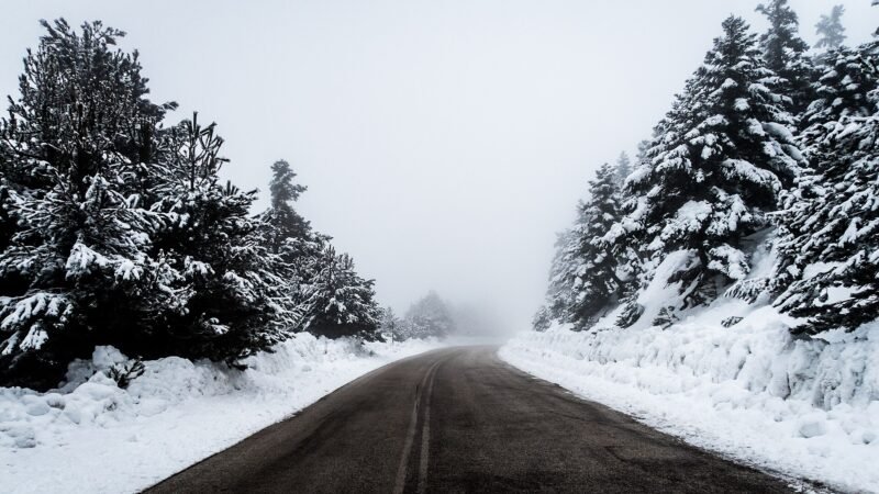
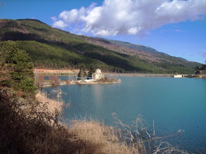
Half of Corinthia is mountain. Peaks, plateaus, caves and sinkholes make a landscape entirely unlike the coast — and usually entirely quiet.
Closest points
- Kleftaki — 1.5 km
- Ziria — 3.2 km
- Ano Trikala — 3.4 km
- Paliokastro of Trikala — 3.7 km
Practical notes
- Routes are rarely marked — carry a map and GPS.
- Weather changes abruptly with altitude.
- Never enter caves without experience and equipment.
Where it is
Explore nearby
Weather & best time to visit
Not sure where to go next?Every village, sight and beach in Corinthia on one map — save the ones you like and open the route.
Open the mapBook tours & tickets
Options from established partners for this area. Booking happens on their own site.
Take this page with you
Scan with your phone camera to open it on the spot — description, map and weather.
Before you arrive
Arrive in Corinthia already online
Maps, ferry times, a table for tonight — all of it needs data. MyEsim is a Greek eSIM app covering Greece and 180+ countries: install the plan before you fly, and it switches on the moment you land. No queue at the airport, no roaming bill. Visit Corinthia readers get 10% off.
- Covers all of Greece
- Ready in minutes
- No physical SIM
Enter the code at checkout on myesim.gr. Works on iPhone XS and newer and on most Android phones from 2019 onwards.