
A place in the Municipality of Loutraki-Perachora-Agioi Theodoroi.
- MunicipalityLoutraki-Perachora-Agioi Theodoroi
- TypeLighthouse
- 12.1 km north-west of Corinth
- Get there from: Loutraki (12.7 km)
straight-line distances
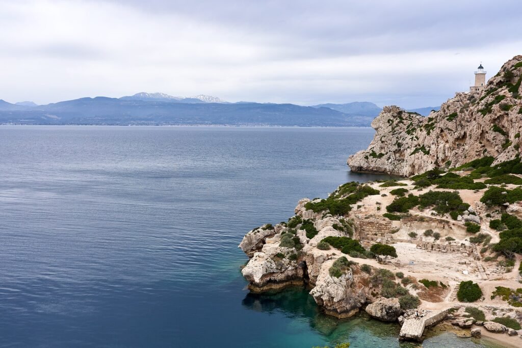
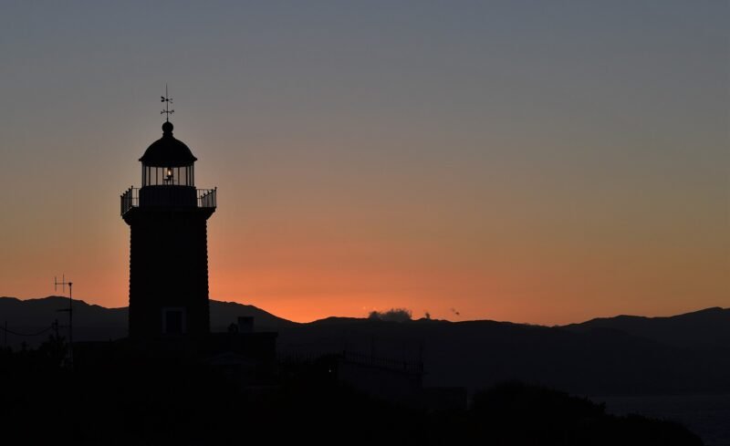
At the tip of the Perachora peninsula, where Lake Vouliagmeni almost touches the Corinthian Gulf, a small white lighthouse stands on the rocks. It is among the most photographed spots in Corinthia, and deservedly so.
Why it is worth it
Cape Melagavi looks straight out across the Corinthian Gulf to the mountains of central Greece opposite. The sunset here is spectacular, and the landscape — pines, rock, clear water — remains almost entirely undeveloped.
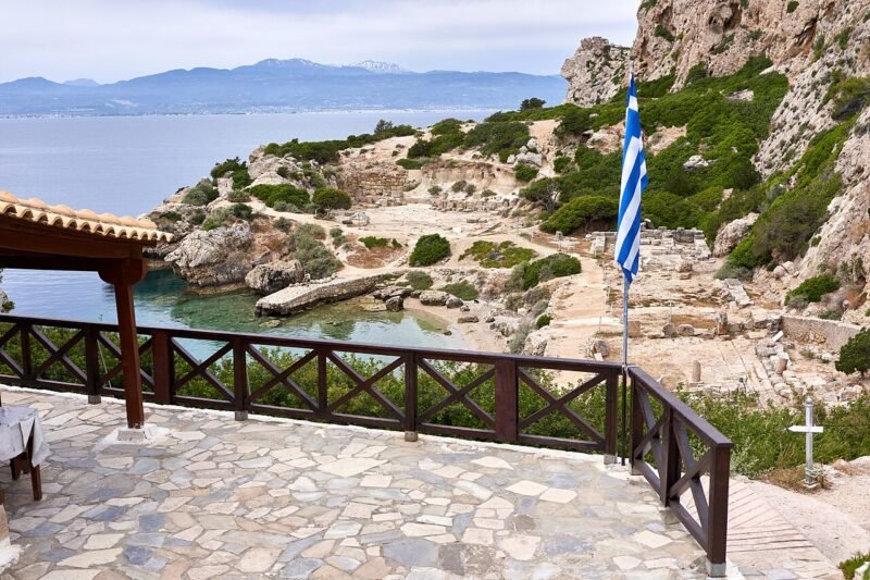
A few minutes away lies the Heraion of Perachora, the ancient sanctuary of Hera beside the sea; the two are visited together.
Practical notes
- About 20 km from Loutraki, out along the Perachora peninsula.
- The last stretch is on foot over rock — take care, especially with children.
- There is no shade and no facilities; bring water.
- Arrive before sunset for the light.
Where it is
Explore nearby
Weather & best time to visit
Not sure where to go next?Every village, sight and beach in Corinthia on one map — save the ones you like and open the route.
Open the mapBook tours & tickets
Options from established partners for this area. Booking happens on their own site.
Take this page with you
Scan with your phone camera to open it on the spot — description, map and weather.
Before you arrive
Arrive in Corinthia already online
Maps, ferry times, a table for tonight — all of it needs data. MyEsim is a Greek eSIM app covering Greece and 180+ countries: install the plan before you fly, and it switches on the moment you land. No queue at the airport, no roaming bill. Visit Corinthia readers get 10% off.
- Covers all of Greece
- Ready in minutes
- No physical SIM
Enter the code at checkout on myesim.gr. Works on iPhone XS and newer and on most Android phones from 2019 onwards.