A foothill village in the Municipality of Nemea, 233 m above sea level, home to 51 residents at the 2021 census.
- Elevation233 m
- Residents51
- MunicipalityNemea
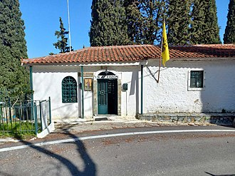
- 25.5 km south-west of Corinth
straight-line distances
Dervenakia is a name every Greek learns at school. These are the mountain defiles linking Corinthia with the Argolid — and the site of one of the most decisive moments of the Greek Revolution of 1821.
The battle
In July 1822 the army of Dramali attempted to return from the Argolid towards Corinth through these narrows. Theodoros Kolokotronis had prepared the ambush. The Ottoman army broke apart in the passes, and the outcome changed the course of the war.
What you will see
The landscape explains the battle by itself: narrow passages between steep slopes where a large army simply cannot deploy. A monument in the area marks the anniversary.
Practical notes
- On the Corinthia–Argolid border, on the road towards Argos.
- Combine it with Nemea and Ancient Kleonai.
Where it is
Explore nearby
Weather & best time to visit
Not sure where to go next?Every village, sight and beach in Corinthia on one map — save the ones you like and open the route.
Open the mapTake this page with you
Scan with your phone camera to open it on the spot — description, map and weather.